A right click into the map area of MaxPunkte opens a context menu. Using this menu you can zoom and pan in the map. Default zoom is activated. If you press and hold the left mause button you draw a rectangle. On release of the button, the display is zoomed to this rectangle. For moving (pan) the map, first activate mouse pan in the context and then holding and moving the left mouse button will pan the map.
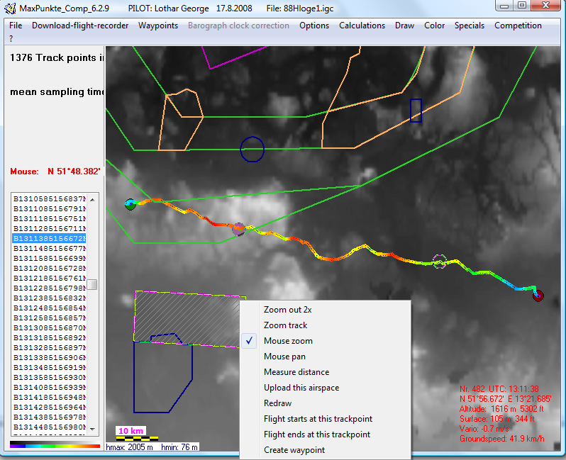
- Another method to pan is a click to close to the borders or corners of the map. The cursor changes it's image according to the direction as soon as the corser is moved to the edges. There are a few more functions in the context menu:
- Zoom to the track, if you get lost in the map
- Define start and endpoints whixch is very useful if you occasionally forgot to switch of the GPS after landing and now have the full drive by car in your track
- Create waypoints for waypoint files
- Upload airspaces
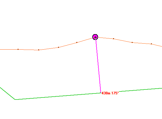
- Measure distances
Learn to use by try and error!